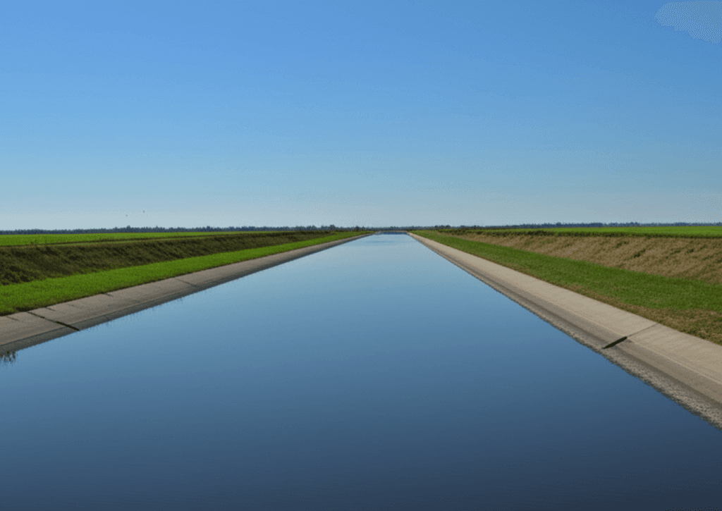
The Little River Drainage District
Engineering an agricultural marvel from the swamplands of the Bootheel.
Taming the Swamp
Established in 1907, The Little River Drainage District is one of the most ambitious civil engineering projects in American history. It transformed over one million acres of swampland into some of the most fertile and productive farmland in the nation, shaping the economy and culture of the Missouri Bootheel.
An Engineered Ecosystem
A massive network of ditches, levees, and channels working in harmony.

1,100+ Miles of Ditches
An extensive network that efficiently collects and moves water away from farmland.
Headwater Diversion Channel
A 40-mile channel that intercepts runoff from the Ozark foothills, protecting the lowlands from flooding.
275+ Miles of Levees
Massive earthen structures that contain floodwaters and define the boundaries of the drainage system.
Recreation & Access
While primarily for drainage and flood control, the district's waterways offer numerous recreational opportunities for the public.
- Public boat ramps provide access for fishing and boating.
- Levee tops are popular for walking, running, and ATV riding in designated areas.
- The ditches are a prime location for bank fishing.
- The area offers unique opportunities for wildlife photography.